Cool East Ogham Stein / Cool East Ogham Stone
(2023-07-15)
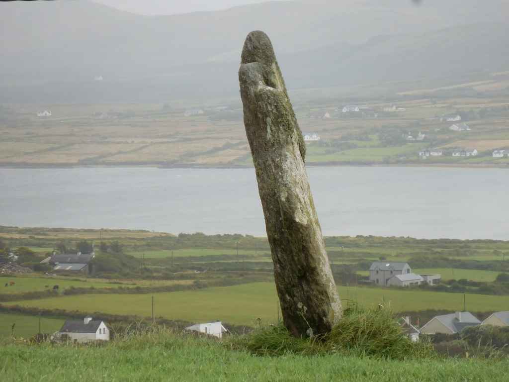
Der Ogham Stein steht auf einem Feld neben der Straße und ist mit knapp 2,5 Metern Höhe gut sichtbar. Um uns möglichen Ärger mit der lokalen Bevölkerung zu ersparen, betreten wir das Feld nicht.
The Ogham stone stands on a field beside the road and with its close to 2.5 metres in heights is well visible. To avoid possible troubles with the local people we refrain from entering the field.
Zugeordnete Themen / Assigned Topics:
Mehr Informationen über - Cool East Ogham Stein / More information about - Cool East Ogham Stone
Lage / Location
- Irish grid: V 37458 75518
Historischer Verweis / Historic Reference


(© Wiki Commons)
- BC
- Ballycarbery Burg / Ballycarbery Castle
- BS
- Ballinskelligs
- CG
- Cahergall Steinfort / Cahergall Stone Fort
- CI
- Keel
- CO
- Cloghanecarhan Oghamstein und Menhire / Cloghanecarhan Ogham and Standing Stones
- CS
- Cahersiveen
- CU
- Coomanaspig Pass
- CW
- Coom Keildolmen / Coom Wedge Tomb
- EC
- Eightercua Steinreihe / Eightercua Stone Row
- FO
- Formaoil Steinreihe / Formaoil Stone Row
- IL
- Illaunloughan
- JC
- Kirche zum Hl. Johannes dem Täufer / St. John the Baptist's Church
- KC
- Kerry Klippen / Kerry Cliffs
- KG
- Kilmore Friedhof / Kilmore Graveyard
- KT
- Knightstown
- KU
- Killurly Menhir / Killurly Standing Stone
- LB
- Leacanabuaile Steinfort / Leacanabuaile Stone Fort
- LC
- Lough Currane
- MG
- Mastergeehy Menhir / Mastergeehy Standing Stone
- PM
- Portmagee
- TF
- Telegraph Field
- VI
- Valentia Island - Skellig Experience
- VL
- Valentia Leuchtturm / Valentia Lighthouse
- WS
- Whitestrand Strand / Whitestrand Beach
- WV
- Waterville