Erinnerungen an Irland / Memories of Ireland
(2015-05-29)
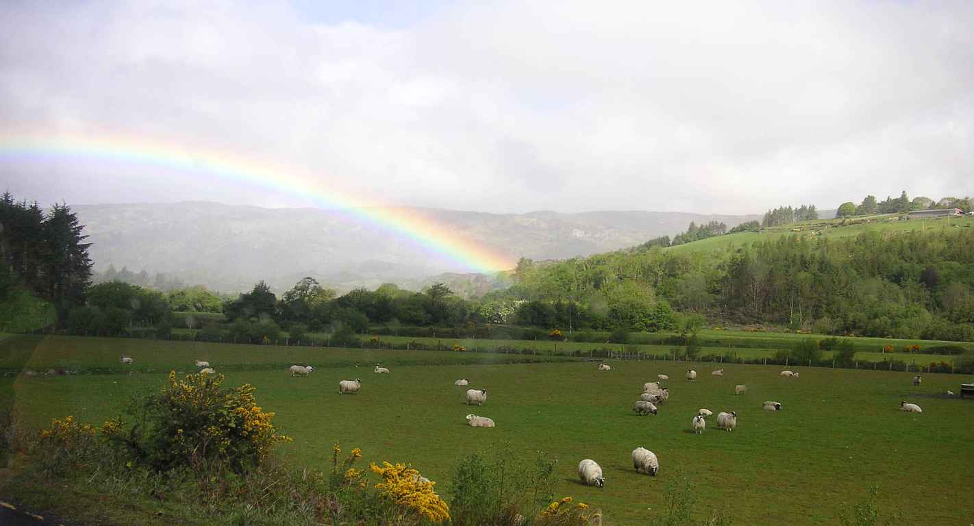
Die nachfolgenden Seiten versuchen etwas von unseren Eindrücken, die wir bei unseren Irland-Reisen seit 1994 gewonnen haben, weiterzugeben. Aber anstelle von langwierigen (und langweiligen) Erklärungen, möchten wir lieber das Land für sich selbst sprechen lassen. Daher findet ihr hier eine Sammlung unserer Fotos von den interessantesten Stellen der Insel.
The following pages try to pass on some of the impressions we got during our travels to Ireland since 1994. But instead of long and boring explanations, we want to let the land speak for itself. Therefore you can find here a collection of our pictures of the most interesting spots on the isle.
Um diese und die folgenden Seiten in ihrer vollen Pracht bewundern zu können, solltet ihr euch den keltischen Zeichensatz herunterladen und installieren. Diesen Zeichensatz habe ich bei meinen Streifzügen durch das Internet gefunden. Dummer weise habe ich mir die Adressen der Seite nicht gemerkt und kann daher dem Künstler sein oder ihr gebührendes Lob zwar aussprechen, doch leider muss er oder sie anonym bleiben.
To see this and the following pages in all their beauty, you should download and install the Celtic font. This font I found on my prowls through the Internet. Alas, I do not remember the URLs of the page, therefore I can give the artist his or her due praises, but he or she has to remain unnamed.
Durch einen Klick auf das Haus am linken oberen Rand dieser und aller folgenden Seiten kommt ihr wieder zu dieser Einstiegsseite. Durch einen Klick auf die Karte darunter kommt ihr zur Übersichtskarte, von wo aus ihr eure Reise beginnen könnt.
By clicking on the house at the upper left corner of this and every following pages you will return to this introduction page. By clicking on the map below it you will come to the overview map from which you can start your tour.
Bei unseren Reisen haben wir immer wieder die großen Wasserwege Irlands gekreuzt: den Shannon, den Grand Canal und den Royal Canal die es ermöglichen die Insel von Nord nach Süd und von Ost nach West auf dem Boot zu durchqueren. Ihnen haben wir eigene Kapitel gewidmet.
During our journeys we often crossed the big waterways of Ireland; the Shannon, the Grand Canal and the Royal Canal that make it possible to travel the island from the north to the south and from the east to the west by boat. We gave them their own chapters.
Für alle die gerne Details erfahren, habe wir die genauen Stationen unserer Irland-Reisen aufgeführt, und sie auch nach Themen geordnet.
Dann haben wir noch eine Zusammenfassung der verwendeten Links, ein paar Infos über den Hl. Patrick und einen kleinen Cartoon.
For all who are interested in the details, we have listed the exact stations of our travels trough Ireland, and they are also sorted by topics.
Then there is a summary of used external links, a few info about St. Patrick and a small cartoon.
In Zeiten von GPS und Smartphones ist es altmodisch mit papierenen Landkarten zu navigieren. Aber für alle, die wie wir, lieber ein großes Stück Papier statt einem kleinen Display vor sich haben, stehen bei jeder Station die Koordinaten im Irish Grid System. Dieses wird nämlich bei den Landkarten verwendet, welche von der Ordnance Survey Ireland und der Ordnance Survey Northern Ireland herausgegeben werden. Die Koordinaten geben in den meisten Fällen den Standort der Sehenswürdigkeit an, aber speziell bei Landschaftsaufnahmen den (ungefähren) Ort, wo das Foto gemacht wurde.
In times of GPS and smartphones it is old fashioned to use paper maps for navigation. But for all who, like us, prefer to look at a large piece of paper instead of a small display, the coordinates of the Irish Grid system are given for all stations. This system is used by the Ordnance Survey Ireland and Ordnance Survey Northern Ireland for the maps they publish. In most cases the coordinates give the position of the sights, but especially for landscape pictures they give the (approximate) place where the photo was taken.
Die Seiten mit den Land- und Stadtkarten verwenden HTML5, JavaScript und Cookies damit die Karten interaktiv bedienbar sind. Wenn der verwendete Browser kein HTML5 unterstützt, wird eine statische Karte ohne Interaktion angezeigt.
The pages with the area und town maps use HTML5, JavaScript and Cookies so that the maps can be used interactively. When the used browser does not support HTML5 static maps without interactions are shown.
Die von OpenStreetMaps kopierten Karten unterliegen dem Copyright von OpenStreetMaps.
Die Irlandkarte wurde von Wiki Commons kopiert und unterliegt dem Copyright der Wikipedia.
Alle Fotos sind © by Elisabeth und Markus Müller. Ihre Verbreitung in jeglicher Form darf nur mit ausdrücklicher Genehmigung der Copyright-Inhaber erfolgen.
The maps copied from OpenStreetMaps are subjected to the copyright of OpenStreetMaps.
The map of Ireland was taken from Wiki Commons and is subjected to the copyright of Wikipedia.
All photos are © by Elisabeth and Markus Müller. Distribution in any form is only allowed with the expressed permission of the copyright owners.
Die externen Links bei den einzelnen Seiten sind sicher nicht vollständig was das jeweilige Thema angeht. Sie sollen jedoch ein paar erste Schritte zur weiteren Vertiefung erleichtern. Die verlinkten Seiten repräsentieren nicht unbedingt unsere Meinung und wir können keine Haftung für ihren Inhalt übernehmen.
The external links on the individual pages are by far not complete concerning the respective topic. But they should alleviate first steps to further deepening. The linked sites do not necessarily reflect our opinions and we cannot take responsibility for their contents.
Viel Spass!
Have much fun!