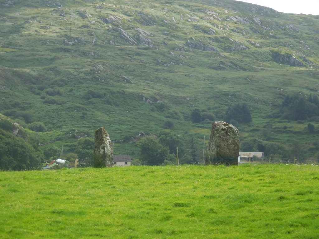
Com Na hEorna Thoir Menhire / Com Na hEorna Thoir Standing Stones
Der Historic Environment Viewer beschreibt mehrere Menhire in der Nähe eines Bauernhauses. Dieses Steinpaar sind aber die einzigen Steine, das wird von der Straße aus erkennen können.
The Historic Environment Viewer describes several standing stones close to a farm house. However this stone pair are the only stones we can identify from the road.
Zugeordnete Themen / Assigned Topics:
Lage / Location
- Irish grid: V 55650 60767
Historischer Verweis / Historic Reference
(© Wiki Commons)
- BS
- Ballinskelligs
- CC
- Castlecove
- CO
- Cloghanecarhan Oghamstein und Menhire / Cloghanecarhan Ogham and Standing Stones
- CV
- Com an Chiste Aussichtspunkt / Com an Chiste View Point
- DH
- Derrynane Haus und Garten / Derrynane House and Gardens
- DY
- Derrynane Bucht / Derrynane Bay
- EC
- Eightercua Steinreihe / Eightercua Stone Row
- FO
- Formaoil Steinreihe / Formaoil Stone Row
- KU
- Killurly Menhir / Killurly Standing Stone
- LC
- Lough Currane
- LO
- Loher Steinfort / Loher Stone Fort
- MG
- Mastergeehy Menhir / Mastergeehy Standing Stone
- SN
- Sneem
- ST
- Staigue Steinfort / Staigue Stone Fort
- WV
- Waterville


