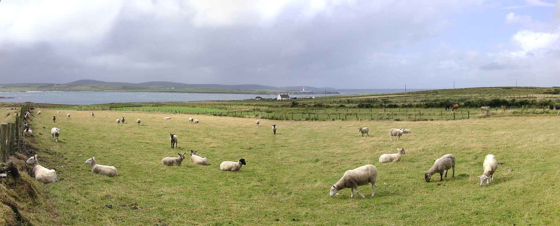
The Mullet
Die Mullet ist nur eine Halbinsel, weil sie bei der größten Stadt Belmullet (Beál an Mhuirthead) noch durch eine enge Landbrücke mit der Hauptinsel verbunden ist. Sie ist lang gestreckt und durch viele Landzungen mit dazwischen liegenden Buchten und Stränden geformt. Die Mullet dürfte der nordwestlichste Punkt der Insel sein. Auf der nordöstlichsten Landzunge steht ein Leuchtturm, der die Hafeneinfahrt bewacht.
The Mullet is only a peninsula as it is still connected to the main land by a small land bridge where the largest town Belmullet (Beál an Mhuirthead) is located. It is very long stretched, formed by many spits of land with bays and beaches in-between. The Mullet could be the most northwestern point of the island. On the most northeastern spit there is a lighthouse that guards the harbour entry.
Zugeordnete Themen / Assigned Topics:
Mehr Informationen über - The Mullet / More information about - The Mullet
Lage / Location
Irish grid: F 78601 36174
(© Wiki Commons)
- BD
- Béal Deirg
- BL
- Blacksod Leuchtturm / Blacksod Lighthouse
- BN
- Barnatra
- BV
- Blacksod Aussichtspunkt / Blacksod Viewpoint
- CT
- Carrowteige Klippen / Ceathrú Thaidhg Cliffs
- CW
- Lake Carrowmore
- GT
- Glinsce - An Tamhnach Mhór
- OW
- Tal der Owenmore / Valley of the Owenmore
- PC
- Portacloy / Port an Chlóidh
- PO
- Pollatomish - Sruwaddacon Bucht / Pollatomish - Sruwaddacon Bay


