Portacloy / Port an Chlóidh
(2015-07-17)
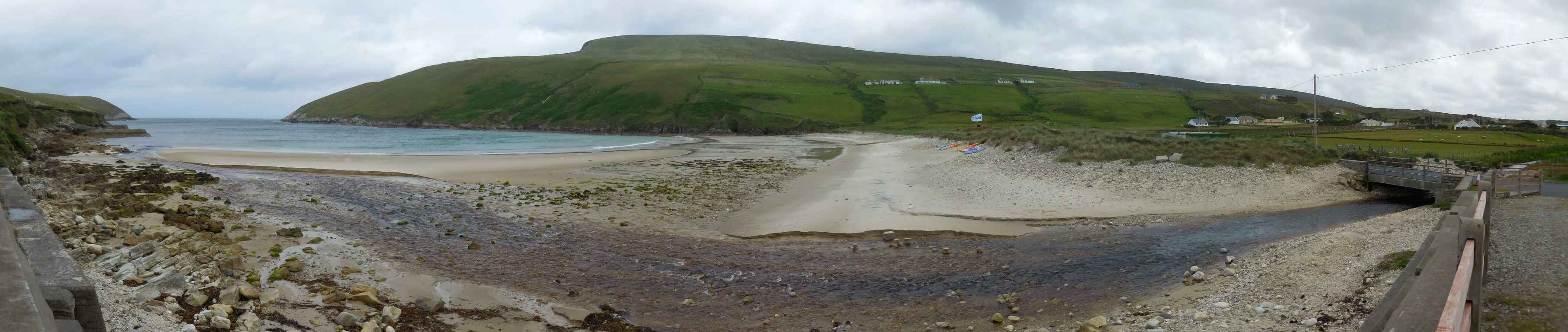
Port an Chlóidh (engl. Portacloy) dürfte die nördlichste Ortschaft in Mayo sein. Es liegt weit in der Gealtacht, alle Straßenschilder sind nur mehr auf Irisch beschriftet, was das Navigieren spannend macht. Im Reiseführer steht, dass es hier sehr schöne Klippen geben soll. Gibt es auch, aber dummerweise sind sie auf der anderen Seite der Hügel und so wirklich Lust haben wir nicht bei dem doch recht heftigen Wind den Wanderweg (Portacloy Loop) am Meer entlang zu gehen. Doch dann kommt uns eine Idee.
Port an Chlóidh (engl. Portacloy) is most likely the most northern village of Mayo. It lies deeply within the Gealtacht, all road signs are only labelled in Irish, which makes navigating thrilling. The travel guide says that there are beautiful cliffs. That is true, unfortunately they are on the other side of the hills and the rather harsh wind diminishes our zest for walking on the hiking path (Portacloy Loop) along the seaside. But then we have an enlightenment.
Zugeordnete Themen / Assigned Topics:

Mehr Informationen über - Portacloy / More information about - Port an Chlóidh
Lage / Location
Irish grid: F 84000 44000


(© Wiki Commons)