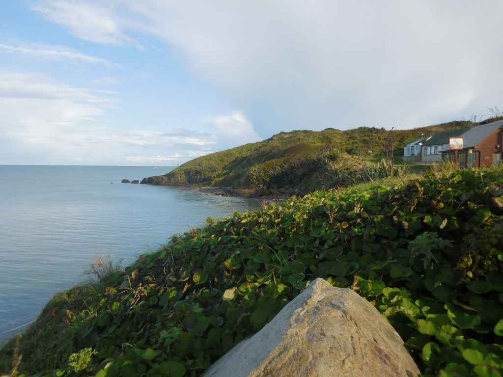
Pollshone Kap / Pollshone Head
Unsere Landkarte verzeichnet die Überreste einer Spornsiedlung aus der Steinzeit beim Pollshone Kap, die direkt neben dem Hafen liegen soll. Allerdings führt der Zugang zur Landspitze über privates Gelände und so begnügen wir uns mit einem Blick aus der Ferne.
Our map denotes the remains of a promontory fort from the Stone Ages at Pollshone Head, which is supposed to be beside the harbour. Alas, the access to the cape leads over private land and so we have to settle for a look from afar.
Mehr Informationen über - Pollshone Kap / More information about - Pollshone Head
Lage / Location
Irish grid: T 20305 53250
(© Wiki Commons)


