Rathcroghan


Use CTRL+mouse wheel to resize
(© OpenStreetMaps contributors)
- CF
- Carnfree Hügel (C2) /
Carnfree Mound (C2) - CL
- Carn Láma (C3)
- CT
- Carnakit (9)
- FC
- Cloch Fhada na gCarn (C4)
- OG
- Ogulla Quelle (12) /
Ogulla Well (12) - OW
- Oweynagat (8)
- RB
- Rathbeg (6)
- RC
- Rathcroghan Hügel (4) /
Rathcroghan Mound (4) - RM
- Rathmore (5)
- RN
- Rathnadarve (7)
- TF
- Tulsk Fort (1)
- TP
- Tulsk Priorat (2) /
Tulsk Priory (2)
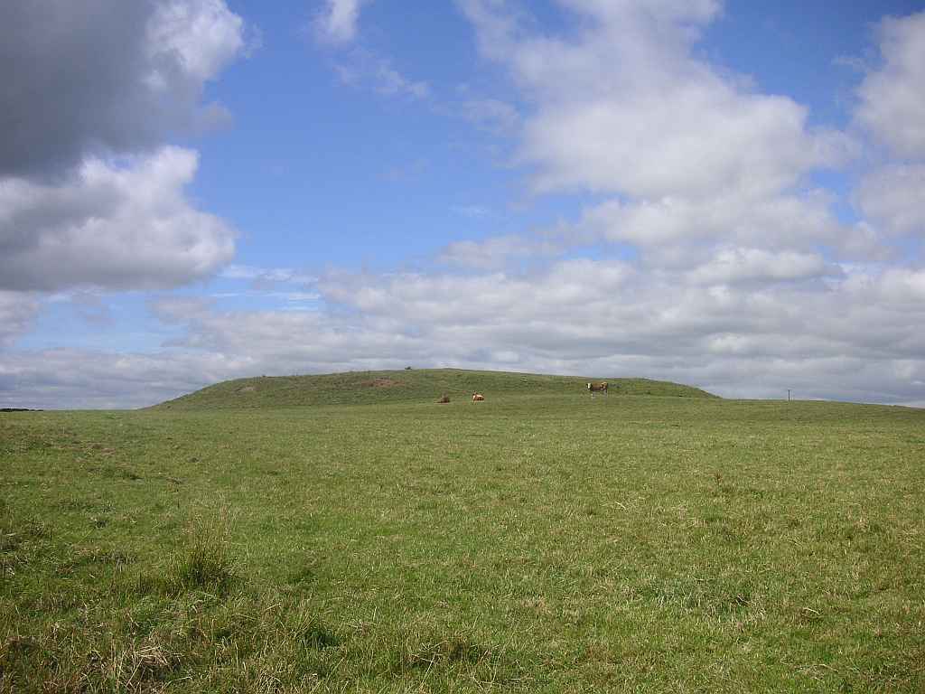
Der archäologische Komplex von Rathcroghan (Ráth Cruachan, Fort von Cruachan) erstreckt sich über 6,5 Quadratkilometer und umfasst mehr als 240 archäologische Stätten, von denen 60 geschützte Nationalmonumente sind. Cruachan war die Hauptstadt des Volkes der Connachta, das nach alten Erzählungen in keltischer Zeit den Westen von Irland bevölkerte. Einige der Monumente gehen aber bis in die Neusteinzeit (4000 - 2500 v. Chr.) zurück, aus der nicht einmal mehr Geschichten überliefert sind. Rathcroghan war der Ort, wo Könige wohnten und auch begraben wurden und wo saisonale Zusammenkünfte (óenach) mit Märkten, zeremoniellen Feiern und Festen stattfanden. Kein Wunder, dass Rathcroghan auch in der keltischen Mythologie eine bedeutende Rolle spielt. Speziell das Epos Táin Bó Cuailnge (Der Rinderraub von Cooley) hat hier seinen Anfang und sein blutiges Ende.
Bei den bisherigen Besuchen in Irland sind wir bestenfalls kurz stehengeblieben, aber 2025 nehmen wir uns endlich die Zeit einen genaueren Blick auf die Anlage zu werfen. Die meisten Monumente liegen jedoch auf Privatgrund und sind öffentlich nicht zugänglich. Daher buchen wir im Besucherzentrum in Tulsk für ein paar Euro die "selbstgeführte Tour" und bekommen die Broschüre "Rathcroghan Archaeological Trail", in der die "Rathcroghan Route" (12 Sehenswürdigkeiten) und die "Carns Route" (5 Sehenswürdigkeiten) beschrieben sind. Wir folgen den vorgeschlagenen Routen, müssen aber feststellen, dass sogar einige der beschriebenen Sehenswürdigkeiten nicht zugänglich oder von der Straße aus sichtbar sind. Der Hinweis "Fragen Sie den Besitzer um Erlaubnis" ist wenig hilfreich, wenn nicht dabei steht, wer der Besitzer ist.
The archaeological complex of Rathcroghan (Ráth Cruachan, fort of Cruachan) stretches over 6.5 square kilometres and encompasses more than 240 archaeological sites, of which 60 are protected National Monuments. Cruachan was the capital of the folk of the Connachta that according to old tales populated the west of Ireland in Celtic times. Some of the monuments however date back to the Neolithic Age (4000 - 2500 B. C.) of which not even tales are passed down. Rathcroghan was the place where kings lived and also were buried, and where seasonal meetings (óenach) with fairs, ceremonial celebrations and feasts were held. No wonder then, that Rathcroghan also plays an important role in the Celtic mythology. Especially the epic Táin Bó Cuailnge (The Cattle Raid of Cooley) starts here and finds here its bloody end.
During our past visits to Ireland we at best made a short stop, but in 2025 we finally take the time to have a closer look at the compound. Most of the monuments however are located on private property and are not publicly accessible. Therefore we book for a few Euros the "self-guided tour" in the Visitors Centre in Tulsk and get the booklet "Rathcroghan Archaeological Trail" in which the "Rathcroghan Route" (12 sites) and the "Carns Route" (5 sites) are described. We follow the suggested routes, but have to realise that even some of the described sites are not accessible or visible from the road. The hint "ask the landowner's permission" is not really helpful when it is not stated who this landowner is.
Zugeordnete Themen / Assigned Topics:
Externe Links für Rathcroghan / External links for Rathcroghan
- curiousireland.ie/rathcroghan-tulsk-county-roscommon-2500bc-present/
- heritageireland.ie/visit/places-to-visit/rathcroghan/
- whc.unesco.org/en/tentativelists/5525/
- Wikipedia (en): Rathcroghan
- www.atlasobscura.com/places/rathcroghan
- www.megalithic.co.uk/article.php?sid=22370
- www.megalithicireland.com/Misgaun%20Medb,%20Rathcroghan.html
- www.rathcroghan.ie/
- www.voicesfromthedawn.com/rathcroghan/
Lage / Location
- Irish grid: M 80011 83663
- GPS: 53.80231 -8.30416
