Glendalough
Oberer See / Upper Lake
(2017-07-13)
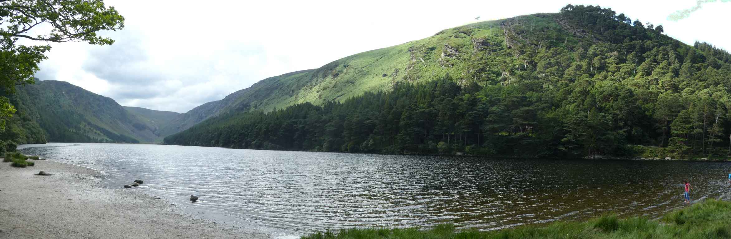
Der obere See liegt idyllisch zwischen den Gipfeln der Berge Derrybawn, Mullacor, Lugduff, Camderry und Brockagh eingebettet. Er wird vom Fluss Glenealo gespeist, sein Wasser fließt in den unteren See, von dort in den Glendasan, dann in den Avonmore, der beim Meeting of the Waters zur Avoca wird.
Aber das Tal ist hier noch nicht zu Ende: Weiter hinten gibt es noch ehemalige Bleiminen (von ca. 1800 bis 1950 in Betrieb) und einen Wasserfall, in den Nähe des Sees auch noch den Poulanass Wasserfall. Das alles müssen wir uns für einen späteren Besuch aufheben.
The upper lake is idyllically embedded bewteen the peaks of the mountains Derrybawn, Mullacor, Lugduff, Camderry and Brockagh. It is fed by the river Glenealo, its waters flow on to the lower lake, from there into the river Glendasan, and then into the Avonmore that becomes the Avoca at the Meeting of the Waters.
But here is not yet the end of the valley: Farther on there are the former lead mines (used from around 1800 to 1950) and a waterfall, and also close to the lake is the Poulanass waterfall. But that we have to save for another visit.
Zugeordnete Themen / Assigned Topics:

Lage / Location
Irish grid: T 10295 96135
Übersicht über Glendalough / Overview of Glendalough


(© OpenStreetMaps contributors)