Westport

(2015-07-18)
Die Stadt Westport (Cathair na Mart, Festung der Jahrmärkte) am Rande der Clew Bay wurde im späten 18. Jahrhundert von James Wyatt geplant und von Grund auf neu errichtet. Heute ist die Stadt ein beliebtes Touristenziel, vor allem bei Meeresanglern.
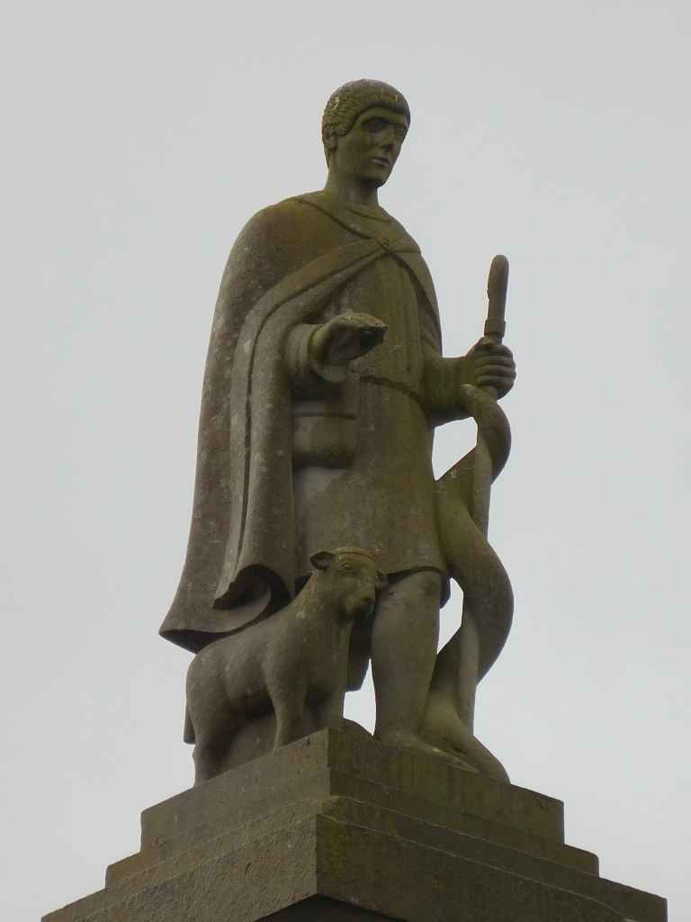
Das Zentrum der Stadt ist in etwa viereckig. Bei unserem Besuch (es ist Samstag am frühen Nachmittag) staut es furchtbar auf allen Straßen. Wir finden trotzdem einen Parkplatz und beginnen unseren Stadtrundgang am Oktogon. Dies ist der markanteste Platz der Stadt, der von bunten Geschäften und Pubs umgeben ist. Hoch oben auf einer Säule steht ein Standbild des Hl. Patrick, der seine Hand schützend über die Stadt hält. Am achteckigen Sockel der Säule erzählen Bilder aus dem Leben des Heiligen.
The town of Westport (Cathair na Mart, Fort of the Fairs) at the edge of the Clew Bay was planned by James Wyatt in the late 18th century and build from scratch. Today, the town is a favourite target for tourists, especially for sea fishers.
The centre of the town is close to four squared. During our visit (it is early afternoon on a Saturday) all the streets are jammed. We are lucky to find a parking place and start out walk through the town at the Octagon. This is the most prominent square of the town, surrounded by colourful shops and pubs. High above us on a pillar a statue of St. Patrick holds its hand protective over the town. On the octagonal socket of the pillar pictures tell of the life of the saint.
Westport im Detail / Expand on Westport

Zugeordnete Themen / Assigned Topics:
Mehr Informationen über - Westport / More information about - Westport
Lage / Location
Irish grid: L 99598 84355


(© Wiki Commons)