Aghadoe
Parkavonear Turmhaus / Parkavonear Castle
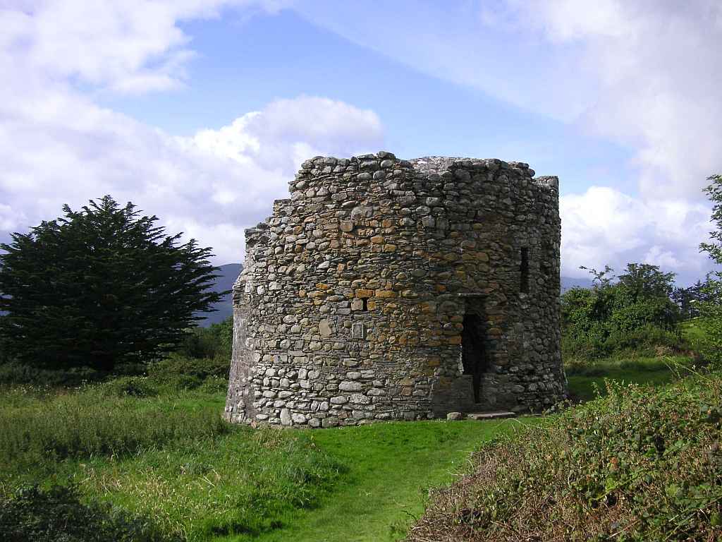
Parkavonear (Paírc an Mhóinéir - das Feld der Weiden) Castle wurde im 13. Jahrhundert von den Normannen zur Befestigung der eroberten Gebiete erbaut. Zuerst halten wir es für einen Rundturm, weil es als eine der wenigen Burgen mit rundem statt mit viereckigem Grundriss erbaut wurde. Vom Erdwall, der die Burg einst umgab, ist nur mehr wenig zu übriggeblieben und das ist mit Büschen überwuchert. Im Inneren der zwei Meter dicken Mauern gibt es eine Treppe in den zweiten Stock, von wo aus wir aber leider auch nicht mehr Ausblick haben.
Parkavonear (Paírc an Mhóinéir - the field of the meadow) Castle was built in the 13th century by the Normans to fortify the conquered areas. At first we think it is a round tower, because it is one of the few castles that were created with a round instead of a rectangular outline. What little remains of the earthen wall surrounding the castle is thickly overgrown with bushes. Within the two metres thick walls there is a staircase to the second floor, alas it does not give us any better view.
Übersicht über Aghadoe / Overview of Aghadoe
 Ogham Stein / Ogham Stone
 Parkavonear Turmhaus / Parkavonear Castle
 Ausblick auf den Nationalpark / Outlook to the National Park
Zugeordnete Themen / Assigned Topics:
Mehr Informationen über - Parkavonear Turmhaus / More information about - Parkavonear Castle
Lage / Location
Irish grid: V 93447 92657


