Galway
Hafen / Harbour
(2012-08-11)
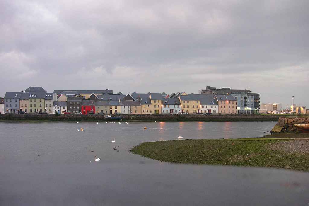
Der Hafen von Galway liegt südlich der Wolfetone Bridge, wo der Fluss Corrib in die Galway Bay mündet. Auf der rechten Seite des Flusses befindet sich der Stadtteil Claddagh. Anstelle der Fischerboote in alten Zeiten liegen heutzutage Segelboote im modernen Yachthafen vor Anker. Auf der linken Seite des Flusses steht malerisch eine Reihe von bunten Häusern hinter denen der große Industriehafen die Stadt mit der Welt verbindet.
The harbour of Galway lies south of the Wolfetone Bridge, where the Corrib River flows into the Galway Bay. On the right side of the river there is the historic village Claddagh. Instead of the fishing boats of old times, today sailing boats ride their anchors in a modern marina. On the left side of the river stands a row of picturesque colourful houses, behind which the large industrial harbour connects the city with the world.
Lage / Location
Irish grid: M 29710 24620
Übersicht über Galway / Overview of Galway


(© OpenStreetMaps contributors)
- CL
- Claddagh
- SA
- Spanish Arch